Hiking in Kitzbühel: ten routes we recommend
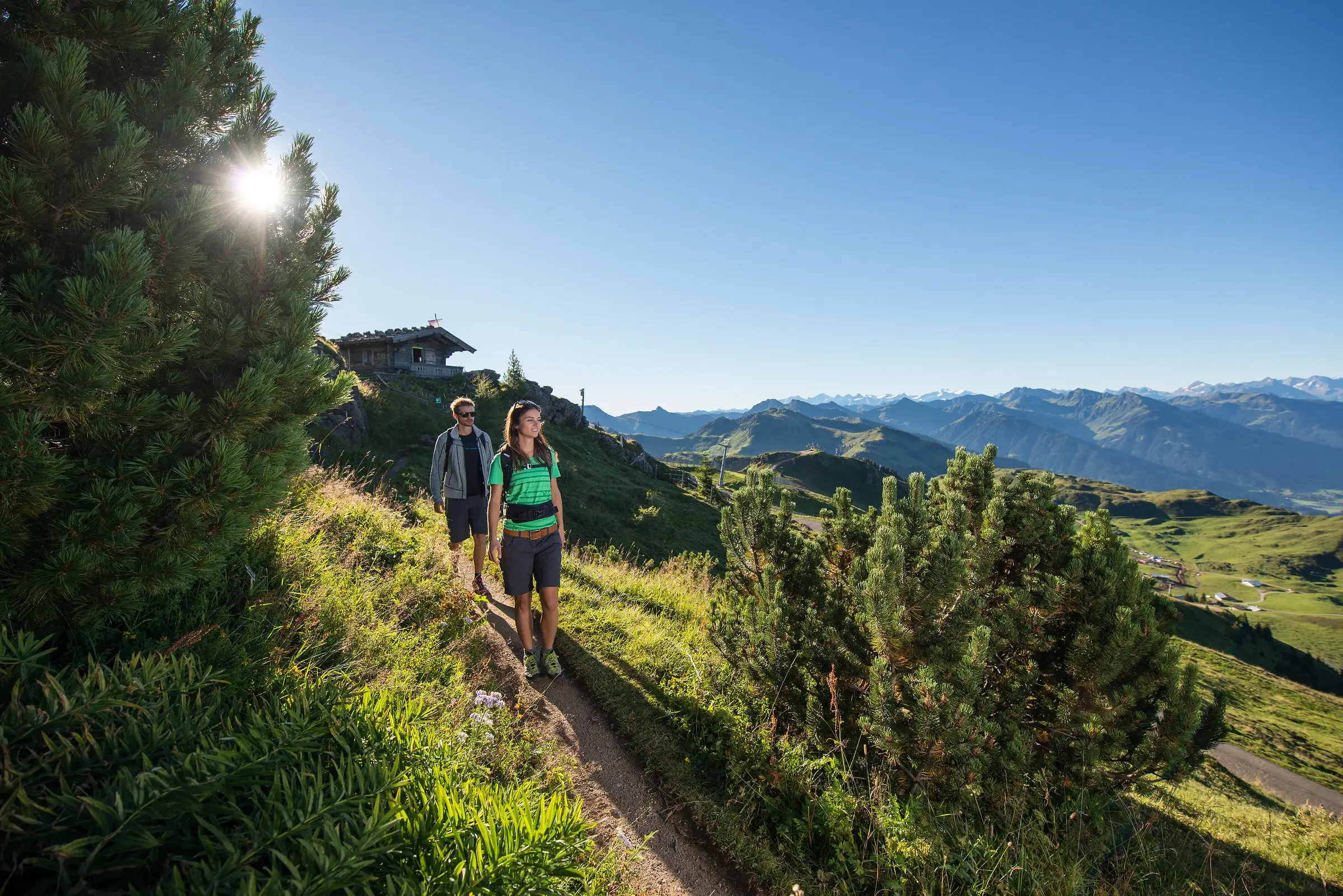
When guests ask us where they should walk, we ask a question back first: do you want to set off from the front door, ride the cable car up or make a day of it somewhere else? The Kitzbühel Alps offer all of that. The table shows our ten standard recommendations with the key figures, and below it we describe each route briefly.
| Route | Start | Length | Walking time | Ascent | Difficulty |
|---|---|---|---|---|---|
| Höhenweg Reith no. 62 | Reith church | 11 km | 4 h | 668 m | moderate |
| Bichlach circular walk | Reith | approx. 8 km | approx. 2:30 h | low | easy |
| Alpine flower garden Kitzbüheler Horn | Alpenhaus (Hornbahn II) | 2 km | 1 h | low | easy |
| Streif walk | Hahnenkammbahn top station | 7.1 km | approx. 3 h | 860 m descent | moderate |
| Hahnenkamm to Pengelstein | Hahnenkammbahn top station | 11.2 km | 3:30 h | 494 m | easy |
| Hornköpflsee | Horn summit lift | 3.6 km | 1:15 h | low | easy |
| Sintersbach waterfall | Jochberg | 9.3 km | 4 h | moderate | moderate |
| Schwarzsee circular path | Schwarzsee lido | approx. 3 km | approx. 45 min | level | easy |
| Gaudeamushütte | Wochenbrunner Alm, Ellmau | 1.3 km | 35 min | low | easy |
| Astbergsee circular path | Astbergbahn top station, Going | 1.7 km | 40 min | level | easy, step free |
The figures come from Kitzbühel Tourismus and the mountain railways, and walking times are pure walking times without breaks.
Walks from the front door in Reith
Höhenweg Reith no. 62
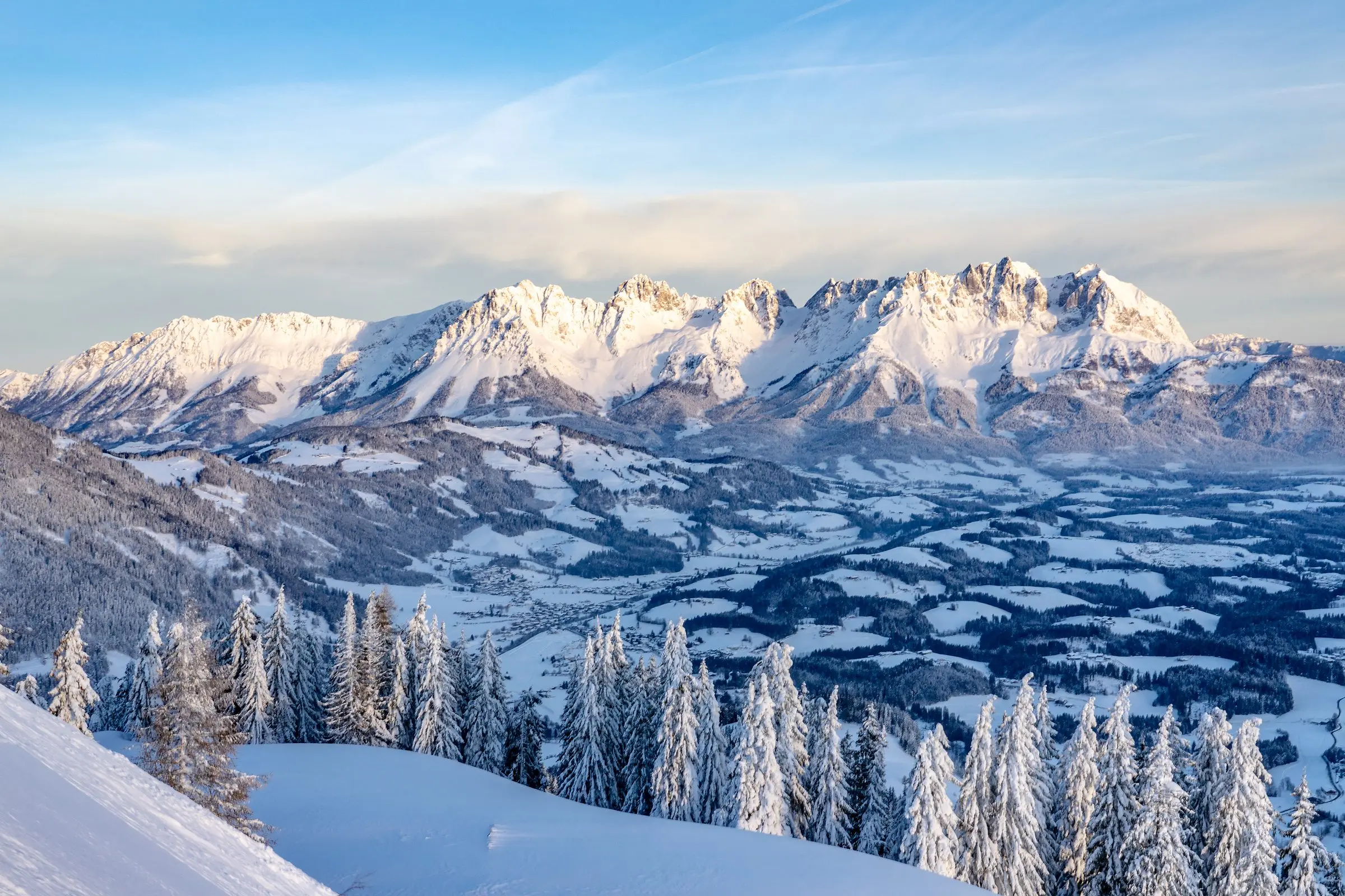
Our house round. The start is at the parish church, then the path climbs past the Veitlkapelle to the Rauher Kopf, the viewpoint of Reith, on to the Scharlwandalm, over Hennleiten to the Wirtsalm and back to the village. 11 kilometres, around four hours, 668 metres of ascent, highest point 1,296 metres. The route is of moderate difficulty but has no exposed sections. The view of the Wilder Kaiser to the north and the Kitzbüheler Horn to the east stays with you almost the whole way.
Bichlach circular walk
The Bichlach is the ridge of hills and woodland right by Reith, cross-country terrain in winter and walking country in summer. The circuit of around eight kilometres runs across meadows and through woodland with no significant climbs, and works with a pushchair or as an evening stroll. If you want more, take the Elferweg (12.6 km) or the big circuit “Kaisergebirge im Blick” (18 km).
Reith to the Astbergsee
From Reith a path leads over the Höhenangeralm up to the Astberg and the Astbergsee at around 1,250 metres. The lake is a reservoir and swimming is not allowed, but the step free circular path (1.7 km, 40 minutes) with its benches and the Blattlalm right by the water make it one of our favourite places. You can walk back or take the Astbergbahn down to Going and bus 865 to Reith. The Brenneralm is ten minutes from the lake.
Walks with the mountain railways
Kitzbüheler Horn: alpine flower garden and Hornköpflsee
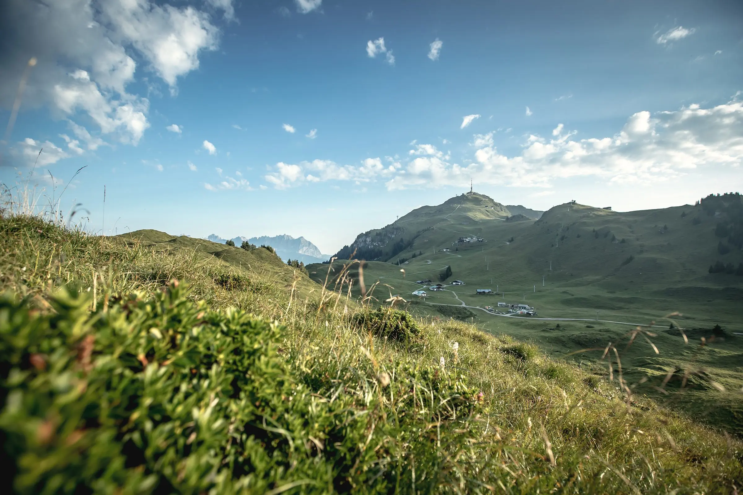
Hornbahn I and II take you up to the Alpenhaus at 1,664 metres. The alpine flower garden begins right there, with more than 400 high mountain plants on a circular path of two kilometres and one hour that is in flower from May to October. The summit lift carries on to 1,996 metres, and from there the path leads to the Hornköpflsee (3.6 km, 1:15 h), a small mountain lake below the summit. Dogs travel free on the Hornbahn. All the details on the page about the Kitzbüheler Horn.
Streif walk
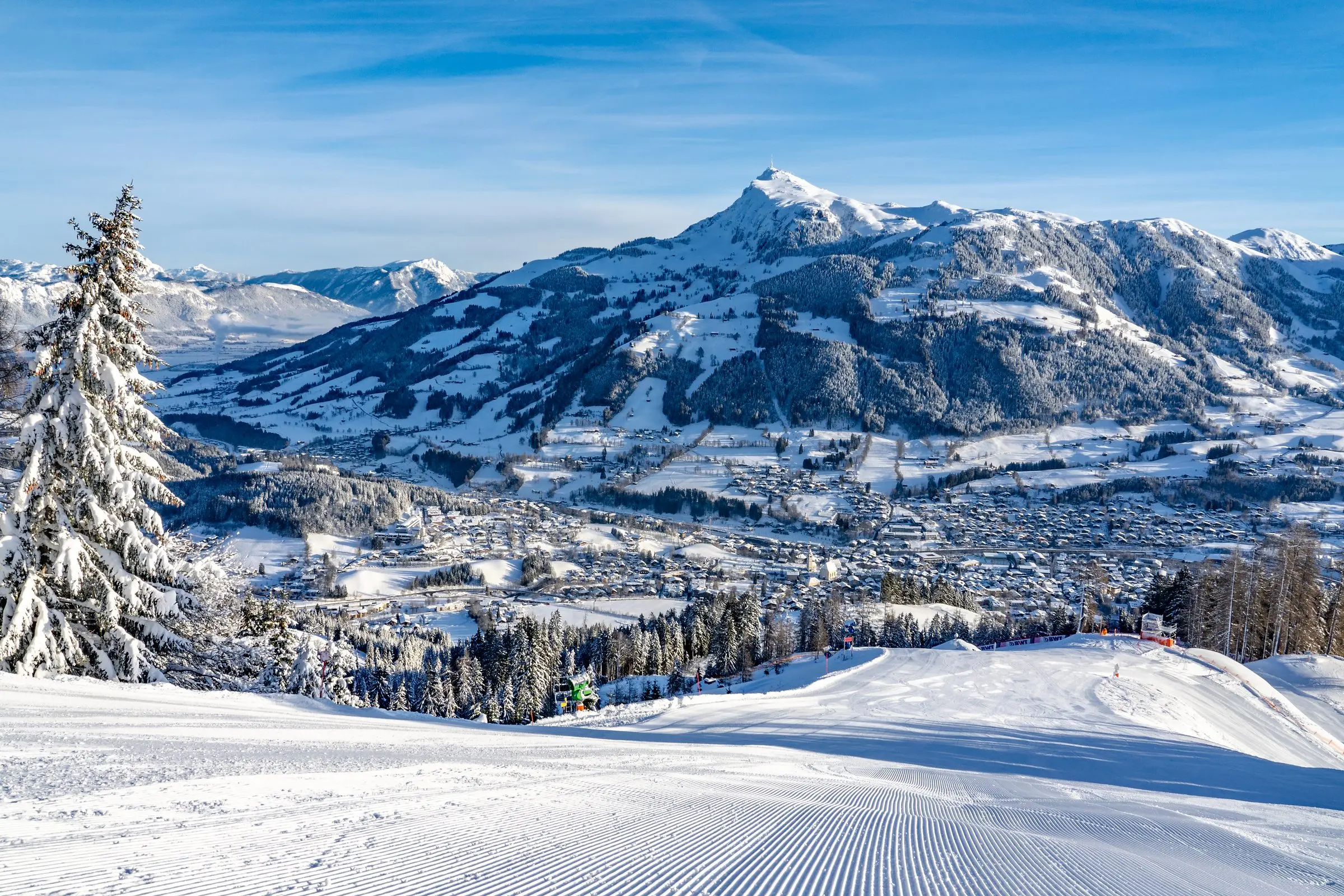
The Streif walk follows the race course from the top station of the Hahnenkammbahn down to the valley station: 7.1 kilometres, around three hours, 860 metres of descent. At the Mausefalle, Steilhang, Brückenschuss, Alte Schneise, Seidlalm and Traverse there are information boards explaining what the racers go through here in January. Stop at the Seidlalm, or at the end at the Rasmushof by the finish slope. Good shoes are essential, as the path is steep in places.
Hahnenkamm to Pengelstein
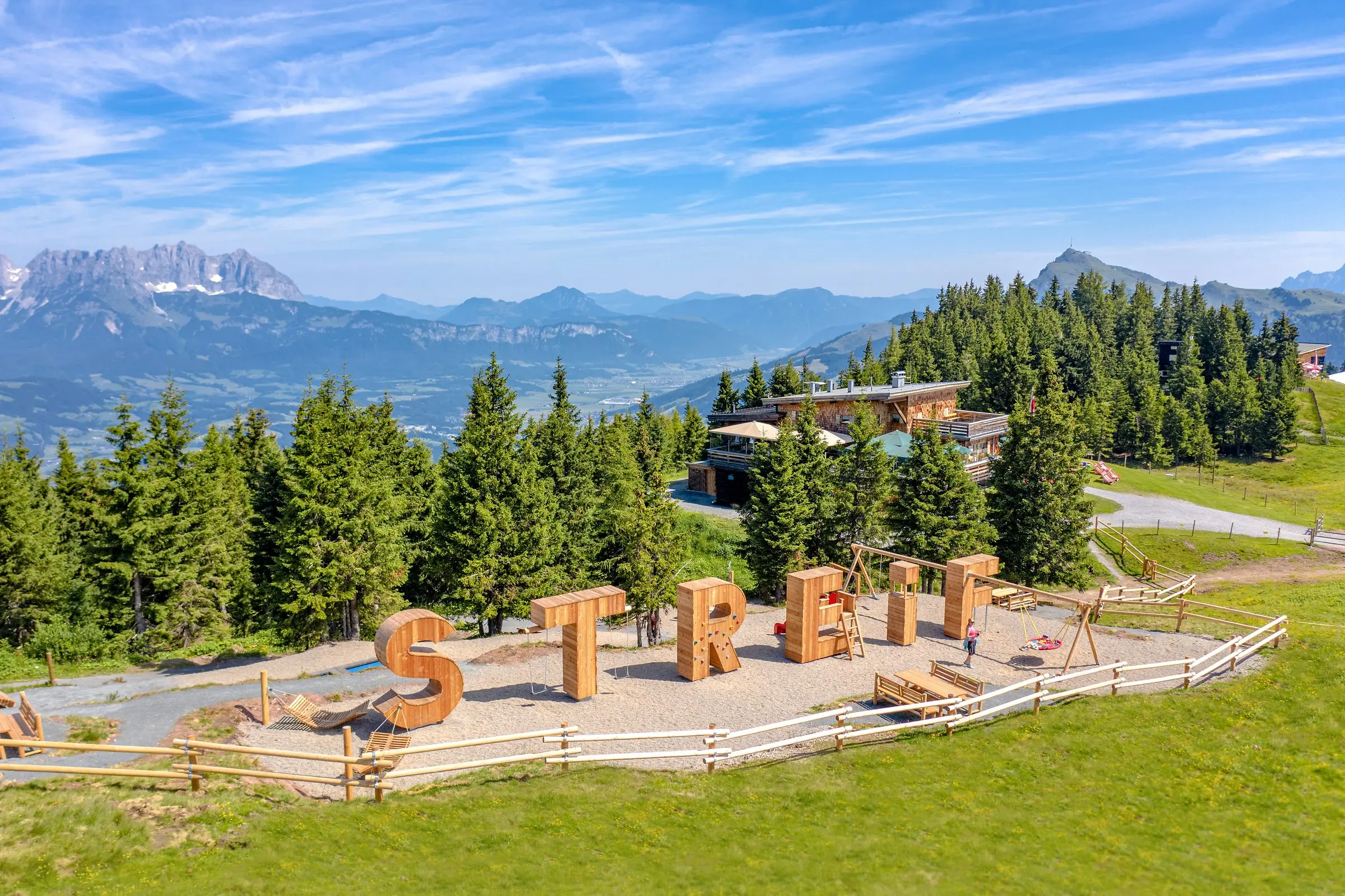
The panorama path from the Hahnenkamm to the Pengelstein (1,938 m) is our recommendation for a long but easy day of high level walking: 11.2 kilometres, 3:30 hours, 494 metres of ascent, almost all of it along the ridge with views in every direction. From the Ehrenbachhöhe (1,801 m) with the Ehrenbachhöhesee you can ride the Fleckalmbahn down to Kirchberg, and from there the bus or the car brings you back to Reith in 10 minutes. More on the page about Hahnenkamm and Streif.
Walks for a day out
Sintersbach waterfall in Jochberg
The Sintersbach waterfall near Jochberg drops 85 metres. The circular route from Jochberg is 9.3 kilometres long and takes around four hours, and it is about an hour to the waterfall itself. It combines well with the Wildpark Aurach or the forest pool in Jochberg for a full day out.
Schwarzsee circular path
The circular path around the Schwarzsee is around three kilometres long and level, ideal for the evening or as a walk with a pushchair. It is two kilometres from Reith to the lake, so you can make the circuit into a longer route straight from the house. Dogs must be kept on a lead at the Schwarzsee. More on the page about Schwarzsee Kitzbühel.
Gaudeamushütte on the Wilder Kaiser
For a contrast to the grass mountains: from the Wochenbrunner Alm in Ellmau a short but steep path (1.3 km, 35 min) leads to the Gaudeamushütte at 1,263 metres, right beneath the rock faces of the Wilder Kaiser. The alpine routes into the Kaisergebirge start from there, and for those who walk for pleasure the hut is destination enough. The drive from Reith takes around 20 minutes. More about the region on the page about Wilder Kaiser, Ellmau and Going.
Huts and alpine pastures along the way
Almost every route has its stopping place: the Blattlalm and Brenneralm on the Astberg, the Alpenhaus on the Horn, the Seidlalm and Rasmushof on the Streif, the Bichlalm at 1,600 metres above Kitzbühel, the Gaudeamushütte on the Kaiser, the Scharlwandalm and Wirtsalm on the Höhenweg Reith. Many huts keep a water bowl for dogs. You will find our detailed tips on the page about alpine huts and restaurants.
Our 10 hiking tips
- Look at the route beforehand. Checking length, ascent and walking time once saves discussions on the mountain. We are happy to help you choose.
- Keep an eye on the weather. In the mountains it turns quickly. Thunderstorms can build in the afternoon, and the ridge is no place to be then.
- Sturdy shoes, several layers. Walking boots with a good sole and a rain jacket belong in the rucksack even under a blue sky.
- Drink and eat enough. At least a litre of water per person, and you can refill at many fountains.
- Stay on the paths. The alpine pastures are working farmland: close the gates, keep your distance from cattle, especially with a dog.
- Plan breaks. Walking should be a pleasure. An alpine hut halfway round is a good reason.
- Tell someone. Let us or someone at home know where you are going and when you plan to be back.
- Start early. The first lift runs at 8:30. Go up early and you have the paths to yourself and are back before the afternoon storms.
- Use the mountain railways. With the KitzCard, one ride up and down is included daily in May, June, September and October; in high summer the KitzSki walking day ticket costs 48 euros for adults, 36 for youths and 24 for children (as at 2025).
- Enjoy the view. From the Horn you can see as far as the Wilder Kaiser, and from the Hahnenkamm down onto Kitzbühel. Take the time for it.
Hiking with a dog
The region is dog friendly. The Höhenweg Reith, the Bichlach circuit, the Astbergsee circular path, the Schwarzsee circular path, the Hahnenkamm walking paths and the Bichlalm route all work well. On the KitzSki lifts a lead and muzzle are required in summer, and dogs travel free on the Hornbahn. A lead is compulsory at the Schwarzsee, and at the Gieringer Weiher there is a separate dog bathing area to cool off in afterwards. More on our page about holidays with a dog.
A base for walkers in Reith
Our Haus Skida stands on the edge of Reith, three kilometres from Kitzbühel, with a view of the Wilder Kaiser and the Kitzbüheler Horn. Two holiday apartments with a sun terrace and a double room, and for walking groups the whole house for 10 to 12 people. Maps, route tips and an honest opinion on whether a route suits you come with the check-in.
Every hiking trail at a glance
The routes come directly from Kitzbühel Tourismus and are always up to date. For every route you see the walking time, the length, the metres of ascent, the difficulty and whether the path is currently open.